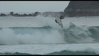
Columbus Day Weekend Surf Courtesy of Hurricane Leslie
- Breakwater Surf
- Oct 4, 2018
- 2 min read
Good morning everyone,
Looks like yet again we have more above-average surf to get excited about this weekend, as Hurricane Leslie continues to stay put in the mid-Atlantic and produce swell for the northern half of the Eastern Seaboard. Let’s get into…
The two ensembles, the Euro Wave model and WaveWatch 3, are showing some disagreement on the exact swell direction to expect in RI this weekend, but both agree that Saturday should receive the bulk of the swell – ~3 - 5ft @ 14 sec, which equates to head-high to over-head surf. The Euro shows swells coming more out of the ESE (not as ideal), while WW3 predicts a more favorable SE direction; we are therefore praying that WW3 turns out to be the more correct of the two.


Wave model forecasts courtesy of Stormsurf.com (top image) and Windy (bottom image).
Swells are forecasted to be biggest Saturday morning and dropping throughout the day. Winds are looking pretty ideal – NNE/NE at 5-10 knots – but swing more east throughout the day. First tide Saturday morning is high at 5:56 AM, which drops to dead low just before noon at 11:46 AM.
With all these factors in consideration, our call is Saturday morning at any spots in the South County region, assuming that we receive the forecasted long period swell from the SE, and winds remain out of the N/NE. Surf should improve a bit as tides drop throughout the morning and (*fingers crossed*) winds stay NE until the afternoon, but make sure you give yourself time Saturday morning to check some of your favorite honey holes. For boards, we suggest a versatile shape that suit the South County beach breaks well, such as the Pyzel “Ghost,” “Phantom,” “Pyzalien,” or “Stubby Bastard,” or the Roberts “Dream Maker” and “Meat Cleaver.”
As you all know, surf forecasts are subject to frequent change. Therefore, we always stress that you contact the shop if you have any questions as the forecast changes. We hope you all get some!
Cheers,
The BW Team


